Lyme Regis Story Map resource
Interactive ESRI coastal management Story Map for Lyme Regis
The Lyme Regis Story Map explores the various issues affecting this popular Dorset seaside resort and the different approaches to managing them. This is one of many ESRI Story Maps which use detailed maps, text, images and multimedia content to tell a geographical story.
https://www.arcgis.com/home/item.html?id=08405e22d0e64c25ae93ba6cdb599d0d
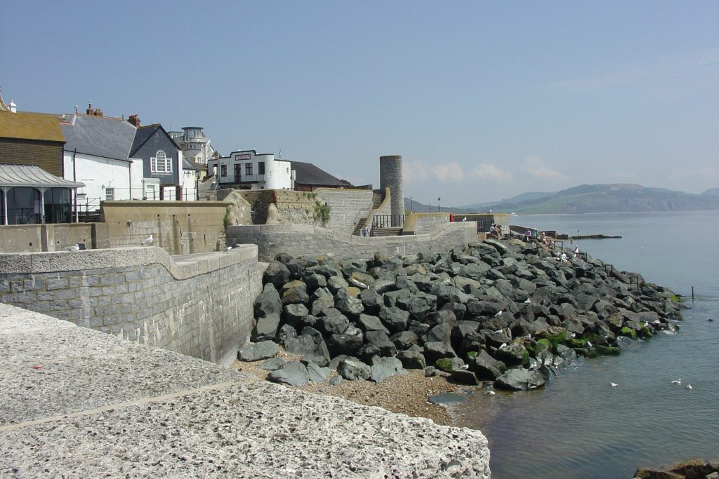
This comprehensive Story Map shows how the town of Lyme Regis in Dorset needs to be protected from storms, wave attack and landslips resulting from its geology and location. By investigating the rock types, land uses, density of population and rates of erosion you can build up a picture of the issues. The factors affecting erosion and slope failure are covered fully with a high-quality images and graphics. Ideas and key concepts including assessing risk, cost benefit analysis, the tourist economy and shoreline management plans are explained and linked to the maps.
Users are encouraged to see how the management methods of HTL (Hold The Line) and NAI (No Active Intervention) are linked to local land uses and geology. The actual solutions developed from 1993 and 2014 are explained and illustrated. This Story Map includes a wide range of questions for students to investigate. There are extensive links and references to information on other websites.
This Story Map provides a wealth of ideas and resources for those teaching about coastal management, slope failure and tourism. Teachers could use this Story Map to create a case study of Lyme Regis for use in the classroom, or for a virtual fieldtrip, and it would be a very useful resource to support an actual visit. The Story Map could be used by students as a secondary source of data for investigations and as a basis for extended writing.
This Story Map is easy to navigate, and the interactive maps load easily. The maps are of high quality especially the ones showing houses at risk. Stunning video clips support the maps and the Lyme Regis by Air in section 12 provides a particularly good overview for those not familiar with this location.
The Lyme Regis story map was produced by Steve Richardson, with contributions from, and the support of, the Environment Agency. Natural England. British Geological Survey. ONS. SCOPAC. Ian West at Southampton University. West Dorset District Council.
ESRI build ArcGIS, the world’s most powerful mapping and spatial analytics software which lies at the heart of the ESRI Geospatial Cloud. You can view a selection of Story Maps at https://www.esri.com/en-us/arcgis/products/arcgis-storymaps/albums/editors-picks
You can also set up an account with ESRI to create your own story maps.